Qiddiya
YAZ’s role: Ground Penetrating Radar (GPR) surveys to investigate underground utilities and subsurface features, supporting excavation planning and infrastructure coordination.
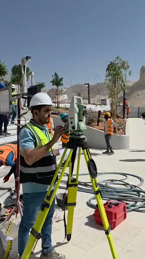
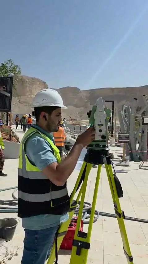
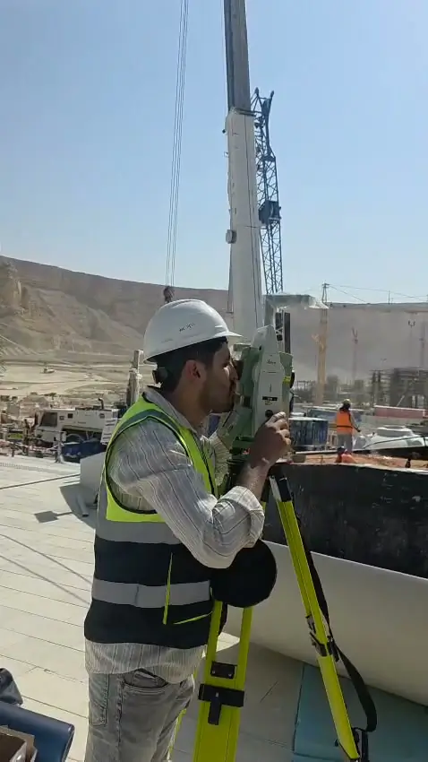
YAZ’s Contribution at Qiddiya
Subsurface Investigation to Support Excavation Planning and Infrastructure Coordination
YAZ Development for Surveying & Contracting carried out Ground Penetrating Radar (GPR) surveys at Qiddiya to investigate underground utilities and subsurface features within its assigned scope.
YAZ’s involvement supported a better understanding of below-ground conditions before excavation and construction activities, providing investigation data to assist site teams with planning and coordination.
Understanding What Lies Below
Existing utility records do not always fully reflect site conditions. Unrecorded services, changes in alignment and incomplete information can introduce uncertainty when planning excavation or new infrastructure.
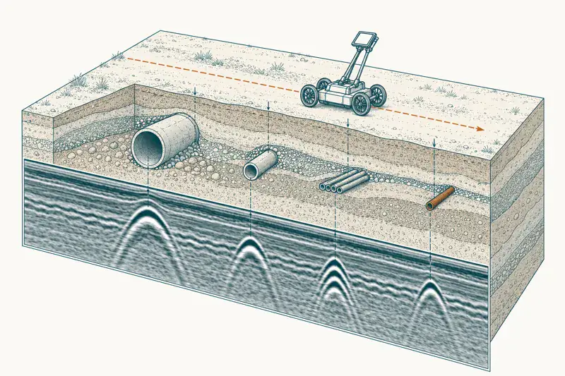
GPR provides a non-intrusive method of investigating the ground by recording reflections from buried objects and changes in subsurface materials. Interpreted results help identify responses consistent with potential utilities or other features requiring further investigation.
YAZ’s experience at Qiddiya demonstrates the application of this technology within a major development environment, connecting subsurface investigation with practical construction requirements.
GPR and Utility Investigation Capabilities
- 01
Underground Utility Investigation
Surveying defined areas to investigate responses that may indicate buried pipes, ducts, cables or other subsurface features. Detectability depends on ground conditions, target characteristics, depth and accessibility.
- 02
Excavation Planning Support
Providing investigation information to help construction teams identify potential conflicts and areas requiring additional checks before excavation.
- 03
Infrastructure Coordination
Supporting the review of proposed utility routes and construction interfaces against interpreted subsurface findings and available records.
- 04
Survey Referencing
Relating investigation areas and detected responses to site references, enabling findings to be communicated within the project’s surveying and engineering workflows.
- 05
Interpretation and Reporting
Reviewing radar data to distinguish relevant responses, communicate interpretation confidence and identify uncertainties requiring further verification.
From Field Investigation to Usable Site Information
A useful GPR survey requires more than collecting radar data. Survey coverage, interpretation and clear communication of findings must be aligned with the purpose of the investigation.
Depending on the agreed scope, deliverables can include:
- Survey coverage plans.
- Marked positions of interpreted subsurface responses.
- Utility investigation drawings linked to site coordinates.
- Indicative depth estimates where supported by the data.
- Annotated findings and interpretation notes.
- Identification of uncertain areas and recommendations for further verification.
Supporting Informed Excavation Decisions
GPR findings contribute to a broader utility investigation process. They should be considered alongside available records, complementary detection methods and physical verification where required.
YAZ communicates investigation limitations so project teams can distinguish interpreted findings from physically confirmed services and plan subsequent actions accordingly.
GPR Services for Construction and Infrastructure Projects
Building on its experience at Qiddiya, YAZ provides GPR surveys and underground utility investigation services for construction sites, infrastructure corridors and redevelopment projects.
Survey methods, coverage and deliverables are defined around the project’s objectives, site conditions and intended use of the results.
Planning excavation or infrastructure works?
Contact YAZ to discuss your survey area, available utility records and investigation requirements.
Services on this project
Common questions
What was YAZ’s surveying scope on Qiddiya?
YAZ’s scope on Qiddiya: Ground Penetrating Radar (GPR) surveys to investigate underground utilities and subsurface features, supporting excavation planning and infrastructure coordination.
Which surveying services did YAZ provide on Qiddiya?
GPR Surveys, Underground Utility Detection, Subsurface Investigation, Utility Mapping, Infrastructure Surveying.
Does YAZ do this kind of work on other projects?
Yes. The same surveying work is available for construction and infrastructure projects in Riyadh and across Saudi Arabia. Send your scope, location and start date through the quotation form or WhatsApp.
Other projects
Need Professional Surveying Teams or Geospatial Engineering Services?
Message us on WhatsApp or call +966 50 298 0251