Advanced and geodetic surveying
Geodetic surveying measures positions over large areas on the Earth’s curved surface with high-precision GNSS and precise levelling. YAZ Development provides advanced and geodetic surveys for projects in Saudi Arabia that need rigorous control.
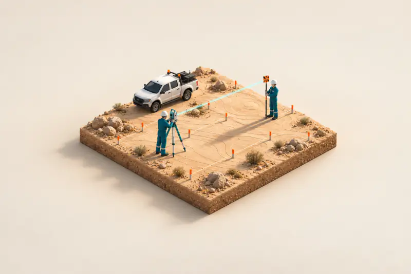
Illustration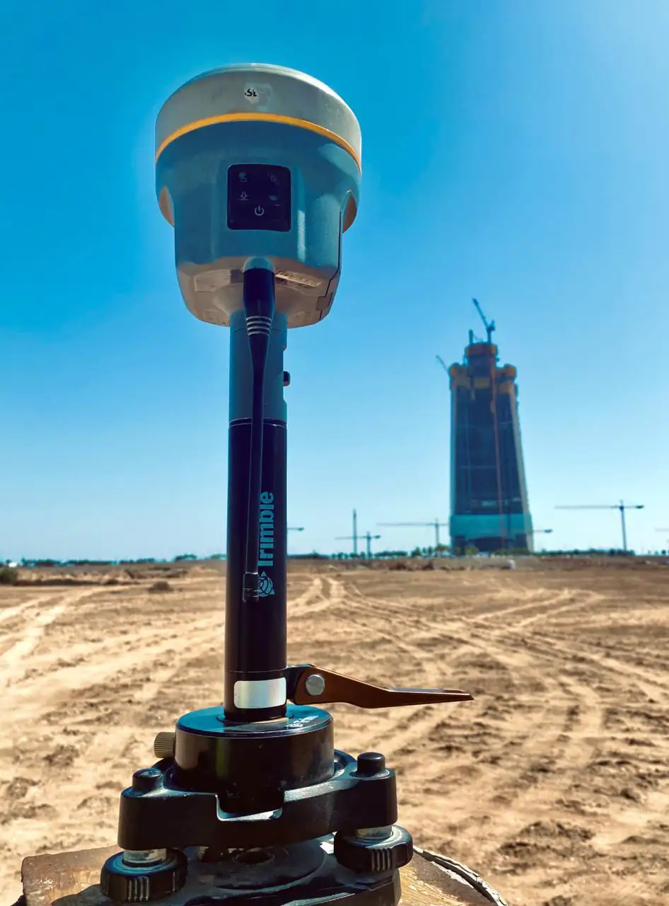
When you need it
- Large corridors such as roads and metro lines
- Projects tied to national or project geodetic datums
- Precise heights with levelling
- Control for monitoring and high-rise work
How a geodetic survey runs
- Plan the network and datum
- Observe with static GNSS and precise levelling
- Process and adjust the observations
- Report coordinates, heights and quality
What you receive
Adjusted coordinates and heights in the agreed datum, observation and adjustment reports, and a control diagram.
Instruments we use
Teams work with Leica and Trimble total stations and GNSS receivers, and with Hi-Target GNSS equipment supplied through YAZ, the exclusive Hi-Target agent in Saudi Arabia.
Related project experience
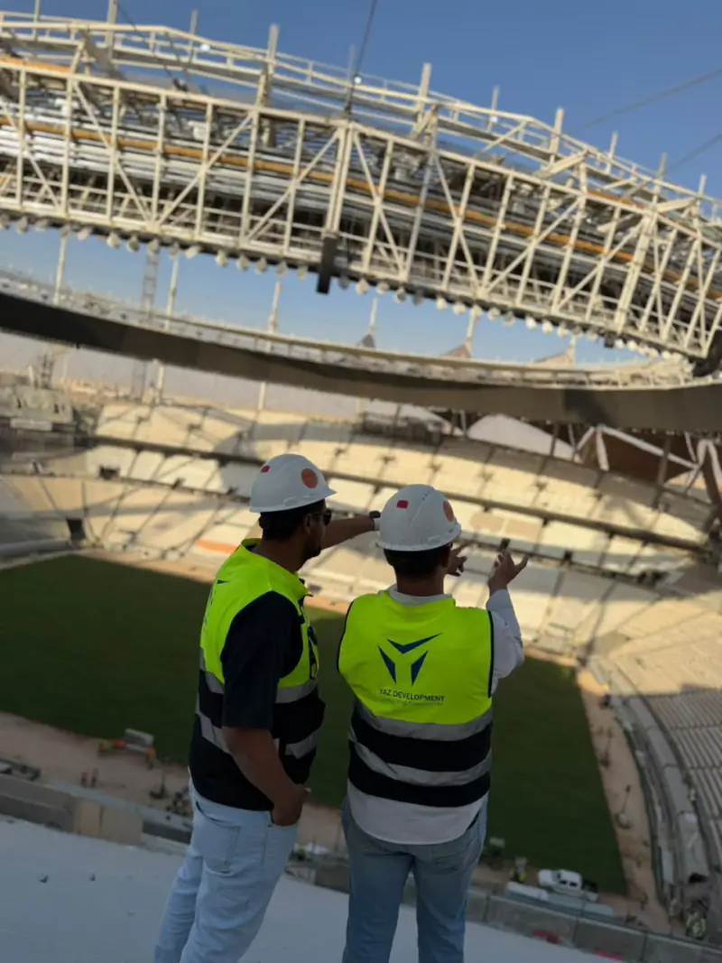 King Fahd International Stadium DevelopmentRiyadh
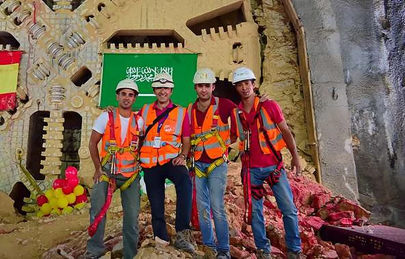 Riyadh MetroRiyadh
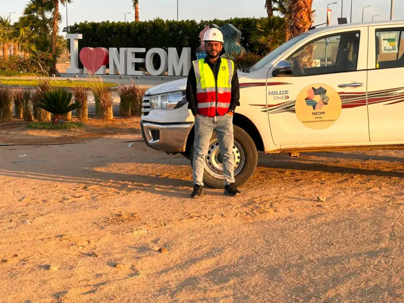 NEOMTabuk Province
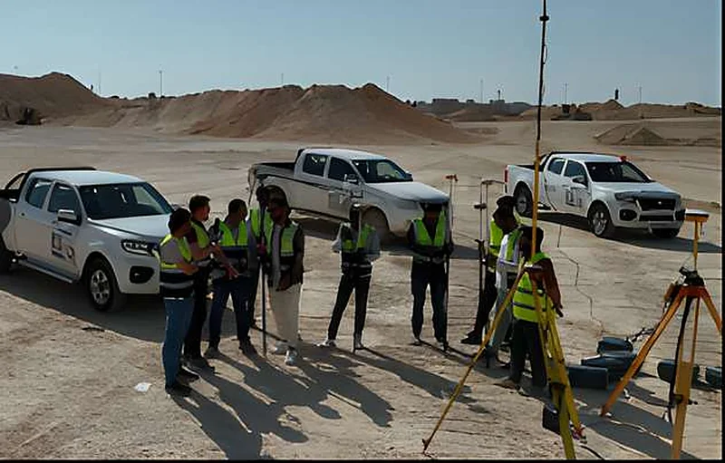 King Salman ParkRiyadh
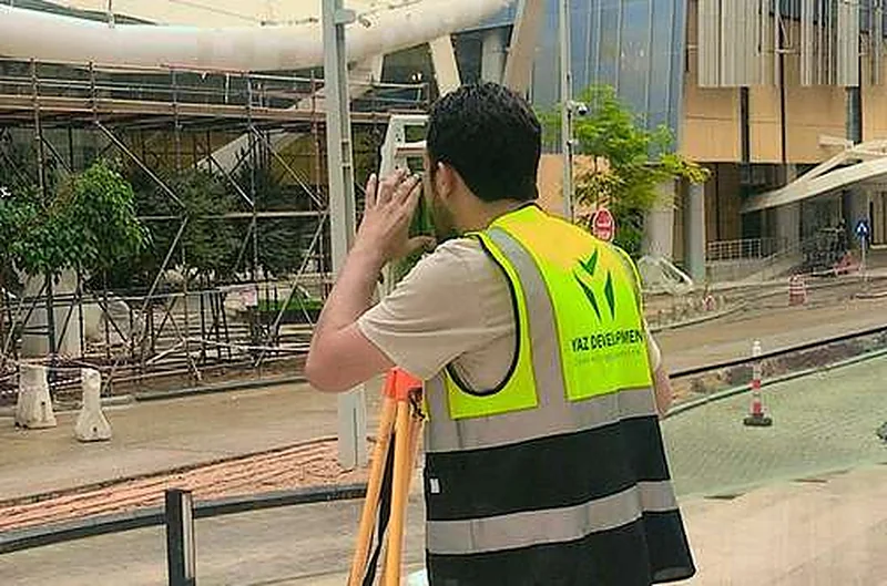
 Misk SchoolsRiyadh
 King Abdullah Financial District (KAFD)Riyadh
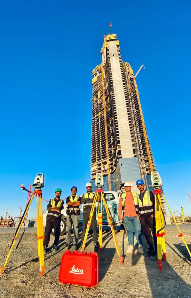 Jeddah TowerJeddah
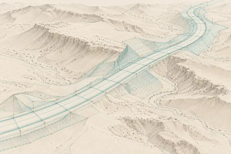 Dairab Road ProjectRiyadh
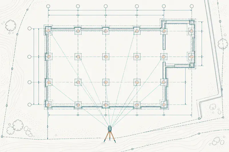 Aramco StadiumAl Khobar
Projects where YAZ carried out surveying or laser scanning related to this service. Open each project to see YAZ’s exact surveying scope.
Related guides
Common questions
What is geodetic surveying?
It is surveying that accounts for the Earth’s shape, using precise methods such as static GNSS and precise levelling to fix positions and heights over large areas.
When do I need geodetic rather than ordinary surveying?
When a project is large, linear or must tie to a datum with high reliability, for example roads, metro lines and high-rise monitoring.
Related services
- Surveying & Construction GeomaticsConstruction surveying is the measurement work that sets a building, road or structure out on the ground and checks it against the design as it is built.
- Scan to BIM in Riyadh
- 3D laser scanning in Riyadh and Saudi Arabia
- Construction surveying and setting-out in Riyadh
Need Professional Surveying Teams or Geospatial Engineering Services?
Message us on WhatsApp or call +966 50 298 0251