Dairab Road Project
YAZ’s role: Survey control network establishment and technical survey support for Saudi Binladin Group, with expanded surveying planned for road and bridge construction.
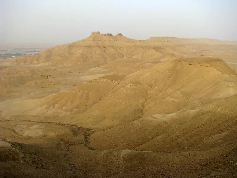
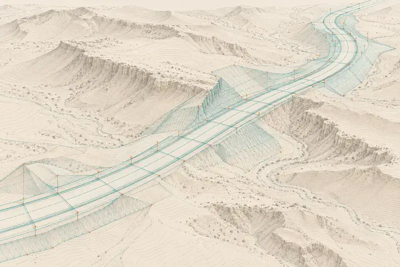
YAZ’s Role in the Dairab Road Project
Survey Control and Engineering Survey Support for Roads and Bridges
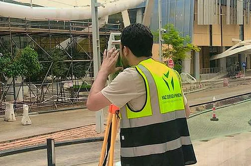
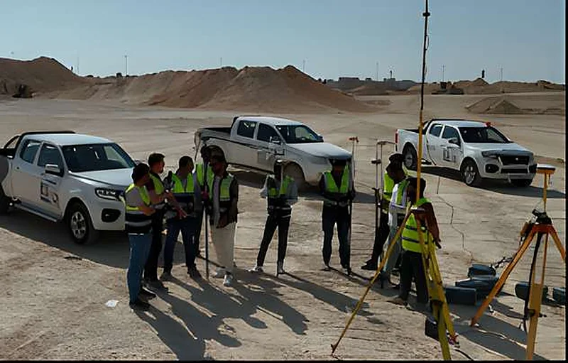
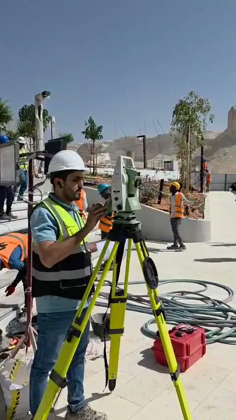
YAZ Development for Surveying & Contracting supports Saudi Binladin Group on the Dairab Road project through the establishment of a survey control point network and the provision of technical survey support.
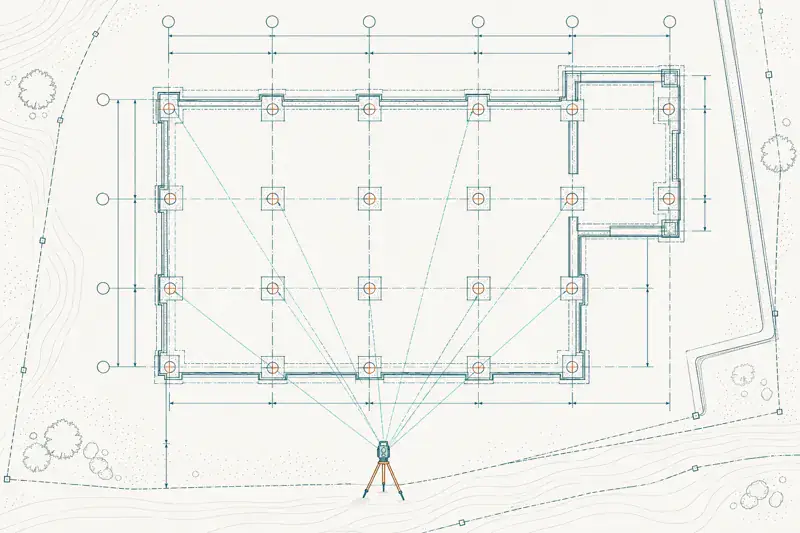
These activities establish the coordinate and elevation references needed to connect engineering drawings with field execution and maintain geometric consistency across road corridors and bridge construction areas.
YAZ is also preparing to expand its field surveying support for the forthcoming stages of road and bridge works, according to the agreed project scope.
Survey Control Network Establishment
YAZ’s control network work provides the surveying framework for subsequent setting-out and verification activities.
Consistent control points and elevation references allow construction teams to relate road alignments, earthwork levels and bridge elements to a common project reference, supporting continuity between adjacent work areas.
Technical Survey Support
YAZ’s technical support connects project drawings and survey references with site requirements. It supports the preparation and review of coordinates, elevations and setting-out information, together with the interpretation of field measurements within the assigned scope.
Upcoming Road Construction Surveying Support
The planned expansion of YAZ’s involvement is intended to support assigned road construction activities, including:
- 01
Route geometry
Setting-out road centre lines, chainages, horizontal curves, offsets and design elevations.
- 02
Earthworks
Surveying existing ground, setting-out excavation and embankment limits, and checking formation levels, slopes and cross-sections.
- 03
Pavement construction
Position and level checks for subgrade, subbase, base and asphalt layers, including crossfalls and tie-ins.
- 04
Drainage and associated infrastructure
Setting-out and verification of drainage routes, culverts, chambers and invert levels.
- 05
Roadside works
Surveying support for kerbs, medians, barriers and other assigned road elements.
- 06
As-built documentation
Recording completed positions and levels for comparison with approved design information.
Upcoming Bridge Construction Surveying Support
For assigned bridge works, the planned surveying support is intended to include:
- Bridge geometry:Establishing structural axes, reference lines, offsets and construction levels.
- Foundations:Setting-out and position checks for piles, pile caps and foundation elements.
- Substructure:Alignment, position, elevation and verticality checks for piers, columns, abutments and pier caps.
- Superstructure:Survey measurements supporting the positioning of bearings, girders, segments and deck elements, according to the construction method.
- Deck geometry:Checking deck levels, gradients, crossfalls and connections with approach roads.
- Construction verification:As-built measurements and geometric checks at defined construction stages.
Detailed deployment and responsibilities will be established in line with the contractor’s programme and the agreed surveying scope.
Connecting Roads, Bridges and Survey References
Road and bridge construction requires continuity between route geometry, structural positioning and finished levels. YAZ’s involvement combines survey control establishment and technical support with preparation for broader field deployment.
This approach supports coordinated surveying across earthworks, pavement construction, bridge structures and the interfaces between them.
Need surveying support for road and bridge construction?
Contact YAZ to discuss your project requirements, construction stages and surveying team needs.
Services on this project
Common questions
What was YAZ’s surveying scope on Dairab Road Project?
YAZ’s scope on Dairab Road Project: Survey control network establishment and technical survey support for Saudi Binladin Group, with expanded surveying planned for road and bridge construction.
Who did YAZ work with on Dairab Road Project?
Contractor supported: Saudi Binladin Group.
Which surveying services did YAZ provide on Dairab Road Project?
Survey Control Networks, Technical Survey Support, Road and Highway Surveying, Bridge Construction Surveying, Setting-Out, As-Built Surveys.
Does YAZ do this kind of work on other projects?
Yes. The same surveying work is available for construction and infrastructure projects in Riyadh and across Saudi Arabia. Send your scope, location and start date through the quotation form or WhatsApp.
Other projects
Need Professional Surveying Teams or Geospatial Engineering Services?
Message us on WhatsApp or call +966 50 298 0251