Digital twins and reality capture
Reality capture records a site or asset as accurate 3D data. A digital twin builds on it, linking that geometry to information about the asset. YAZ Development captures sites with laser scanning and survey and prepares the geometry a digital twin starts from.
Illustration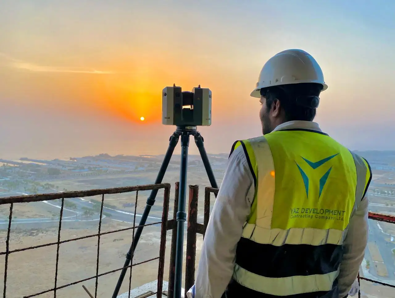
When you need it
- A dated 3D record of a site or building
- A geometric base for asset information
- Tracking change between captures
- Remote review of conditions
How a capture project runs
- Define the area and purpose of the capture
- Scan and survey the site
- Register and tie to control
- Deliver the data and models
What you receive
Registered point clouds, models and drawings as agreed, ready to load into your asset or twin platform.
Instruments we use
Capture uses the Leica RTC360 and Trimble X7 terrestrial laser scanners, tied to survey control by Leica and Trimble total stations and GNSS.
Related project experience
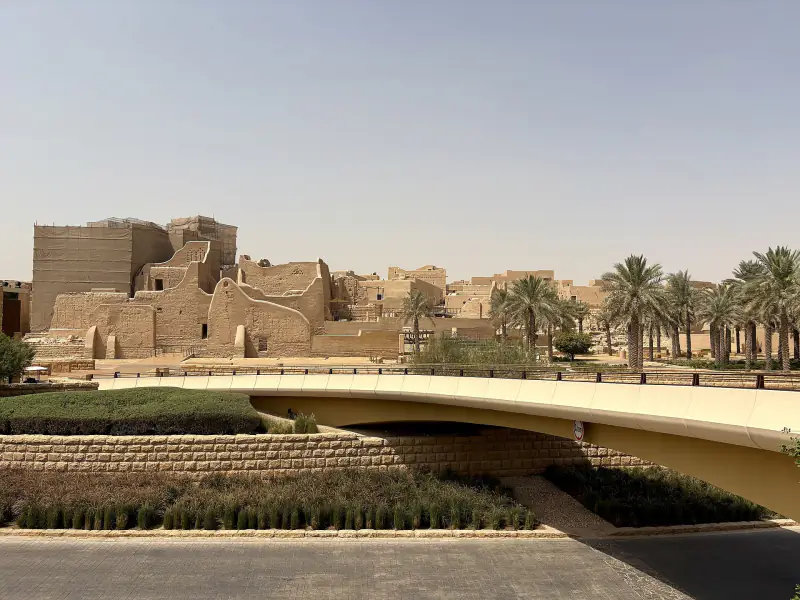 Diriyah DevelopmentRiyadh
Photo: ほっきー, CC0
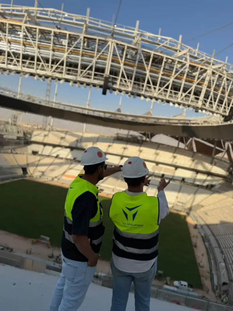 King Fahd International Stadium DevelopmentRiyadh
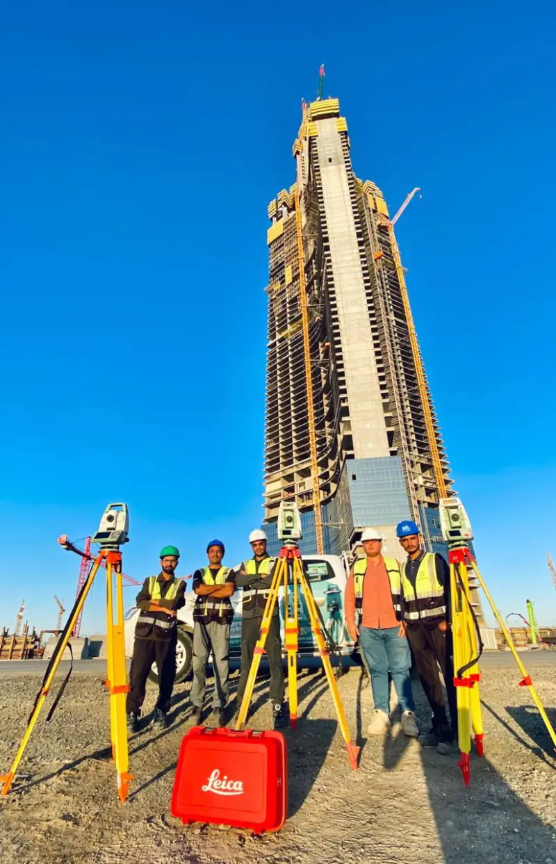 Jeddah TowerJeddah
Projects where YAZ carried out surveying or laser scanning related to this service. Open each project to see YAZ’s exact surveying scope.
Common questions
What is a digital twin?
A digital twin is a digital representation of a real asset, built on accurate geometry and linked to information about it.
Does YAZ supply the twin platform?
YAZ provides the captured geometry and models. The platform is chosen by the client.
Related services
Need Professional Surveying Teams or Geospatial Engineering Services?
Message us on WhatsApp or call +966 50 298 0251