Roads, bridges and infrastructure surveying
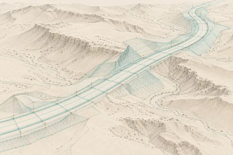
Roads, bridges and infrastructure surveying sets out alignments, levels and structures along a corridor and records what is built. YAZ Development supports road and infrastructure projects in Riyadh, including the Dairab Road project, with survey control and setting-out.
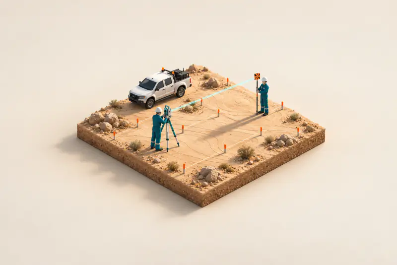
Illustration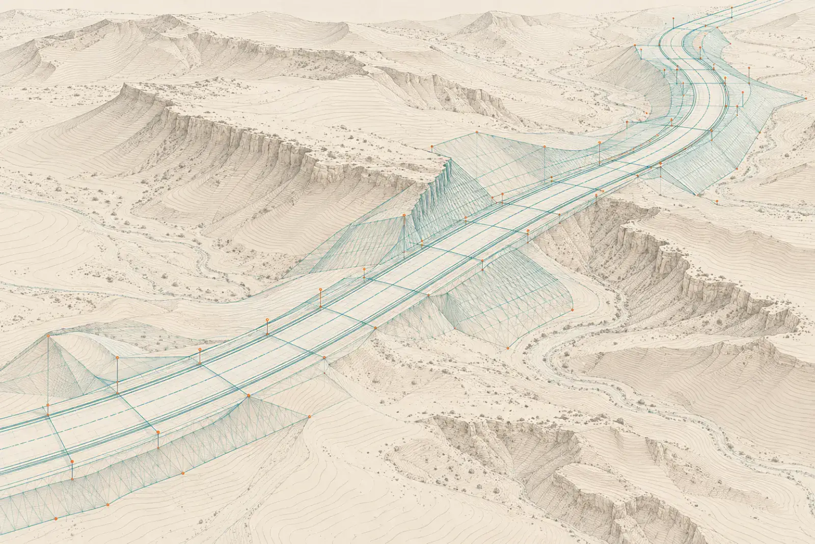
When you need it
- Road alignment and level setting-out
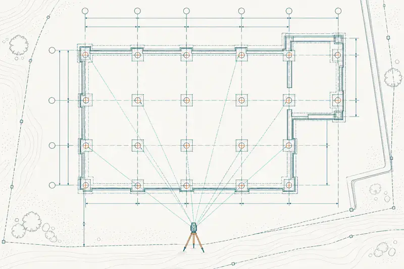
- Bridge and structure positioning
- Corridor control networks
- As-built records of completed works
How corridor surveying works
- Establish corridor control
- Set out the alignment and structures
- Check levels and positions during construction
- Issue as-built survey
What you receive
Setting-out records, corridor control coordinates, as-built drawings in CAD and survey reports.
Instruments we use
Teams work with Leica and Trimble total stations and GNSS receivers, and with Hi-Target GNSS equipment supplied through YAZ, the exclusive Hi-Target agent in Saudi Arabia.
Related project experience
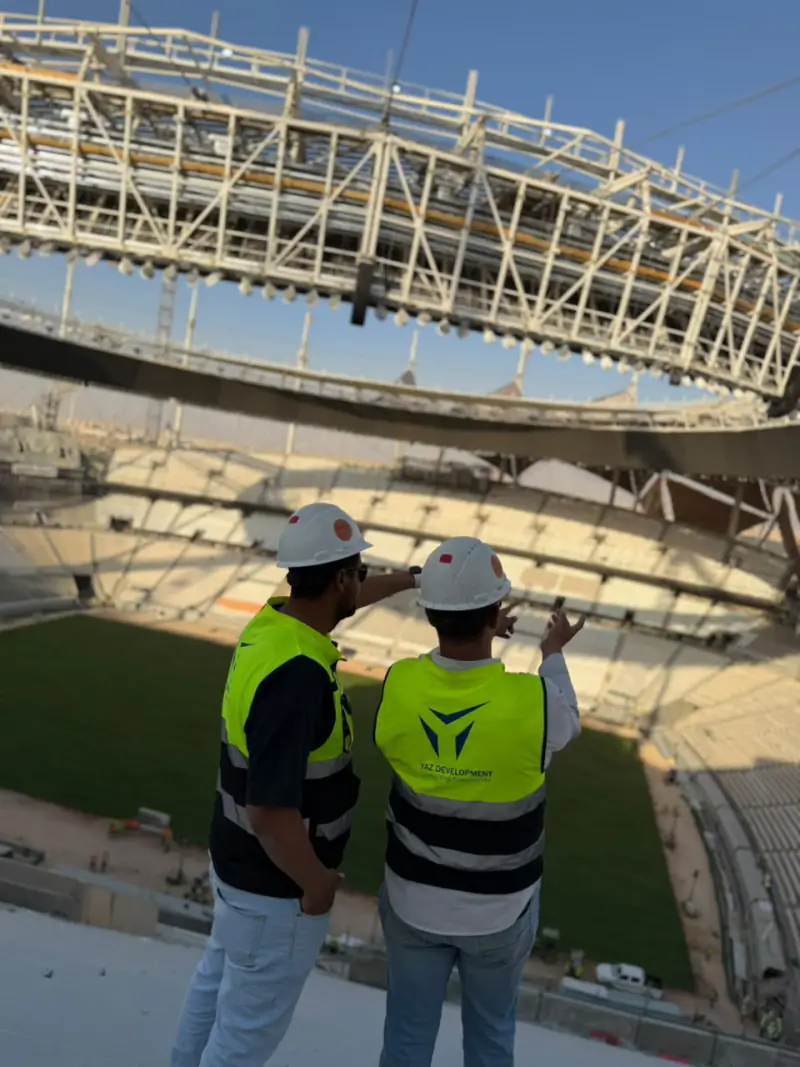 King Fahd International Stadium DevelopmentRiyadh
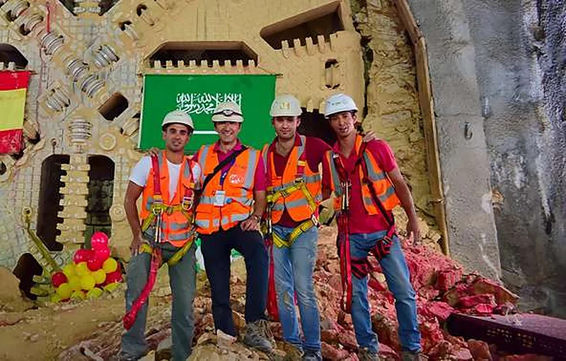 Riyadh MetroRiyadh
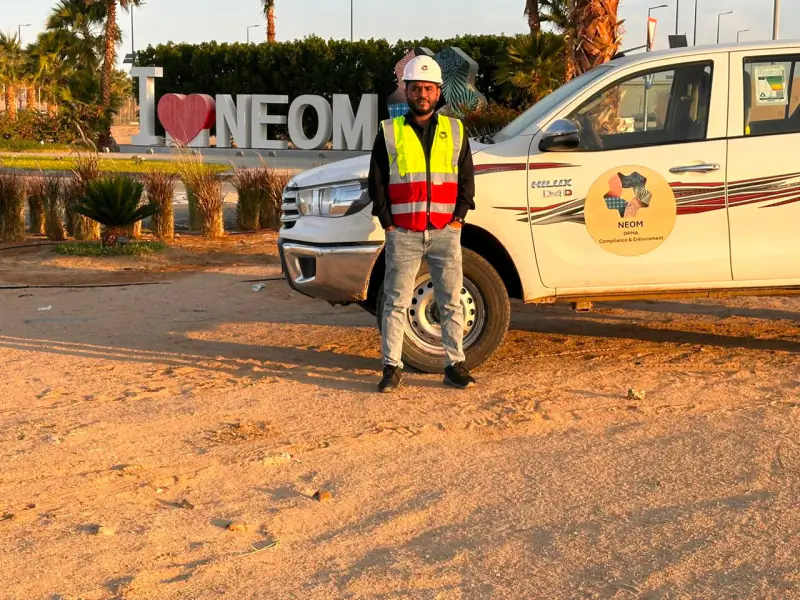 NEOMTabuk Province
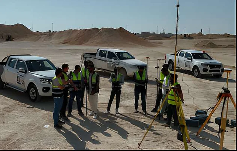 King Salman ParkRiyadh
 Misk SchoolsRiyadh
 King Abdullah Financial District (KAFD)Riyadh
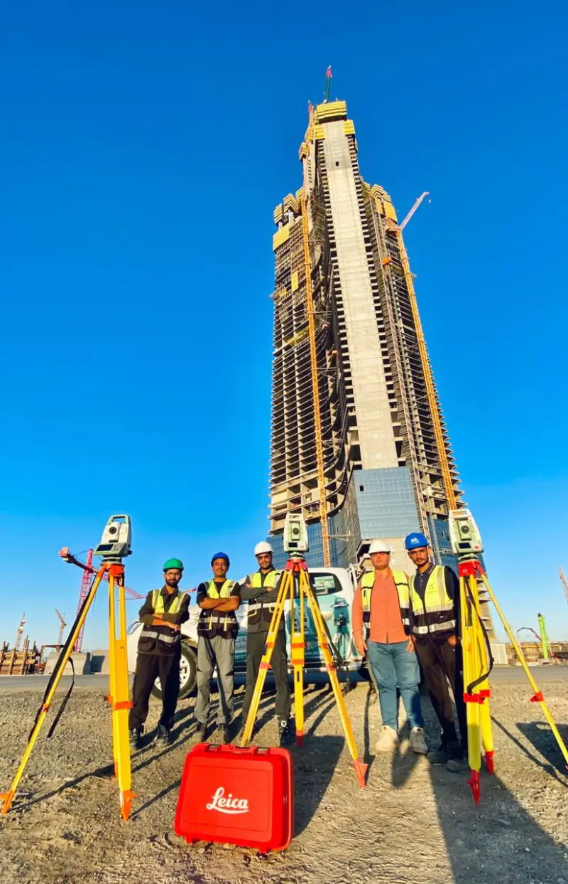 Jeddah TowerJeddah
 Dairab Road ProjectRiyadh
 Aramco StadiumAl Khobar
Projects where YAZ carried out surveying or laser scanning related to this service. Open each project to see YAZ’s exact surveying scope.
Related guides
Common questions
Has YAZ worked on road projects?
Yes. YAZ provided road surveying, infrastructure setting-out and survey control on the Dairab Road project in Riyadh.
What is corridor control?
It is a chain of coordinated points along the route that every setting-out and check refers to.
Related services
- Surveying & Construction GeomaticsConstruction surveying is the measurement work that sets a building, road or structure out on the ground and checks it against the design as it is built.
- Scan to BIM in Riyadh
- 3D laser scanning in Riyadh and Saudi Arabia
- Construction surveying and setting-out in Riyadh
Need Professional Surveying Teams or Geospatial Engineering Services?
Message us on WhatsApp or call +966 50 298 0251