 01
Surveying & Construction Geomatics
Construction surveying is the measurement work that sets a building, road or structure out on the ground and checks it against the design as it is built.
Structural monitoring is the repeated, precise measurement of a building or ground to detect settlement, deformation, tilt or vibration over time. YAZ Development provides monitoring with automated total stations, prisms, and tilt and vibration sensors, with regular reports, for projects in Saudi Arabia.
Illustration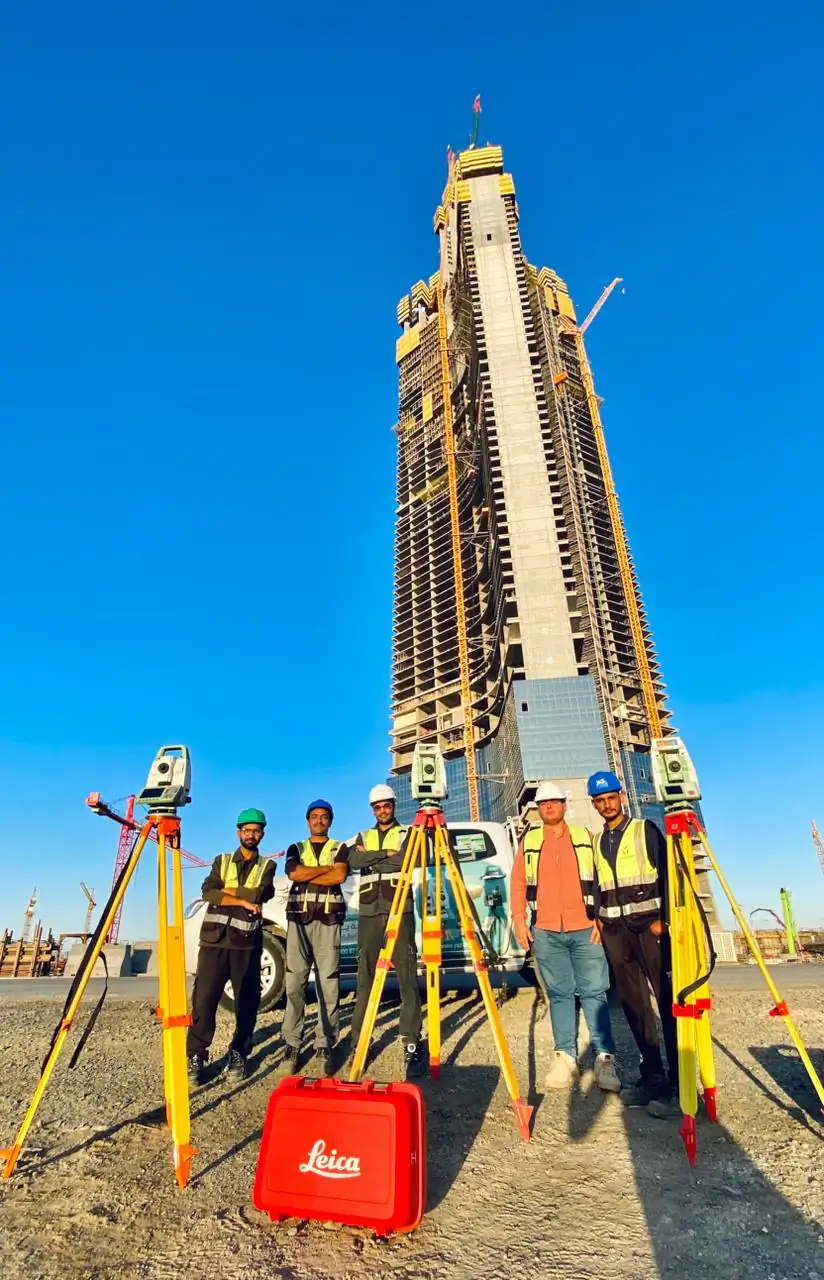 5services in this area
A baseline survey, scheduled readings, trend charts against agreed alert and action levels, and regular reports in the format your engineer requires.
Automated monitoring total stations, monitoring prisms, and tilt and vibration sensors, tied to stable control points.
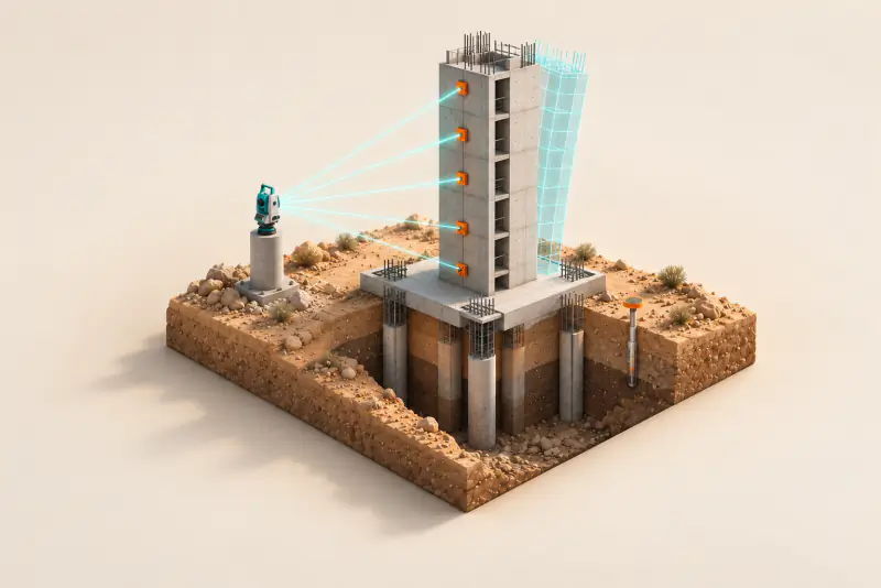 01 Structural Health Monitoring Structural health monitoring tracks how a structure behaves over time, using precise surveys and sensors to detect movement, tilt or vibration early.
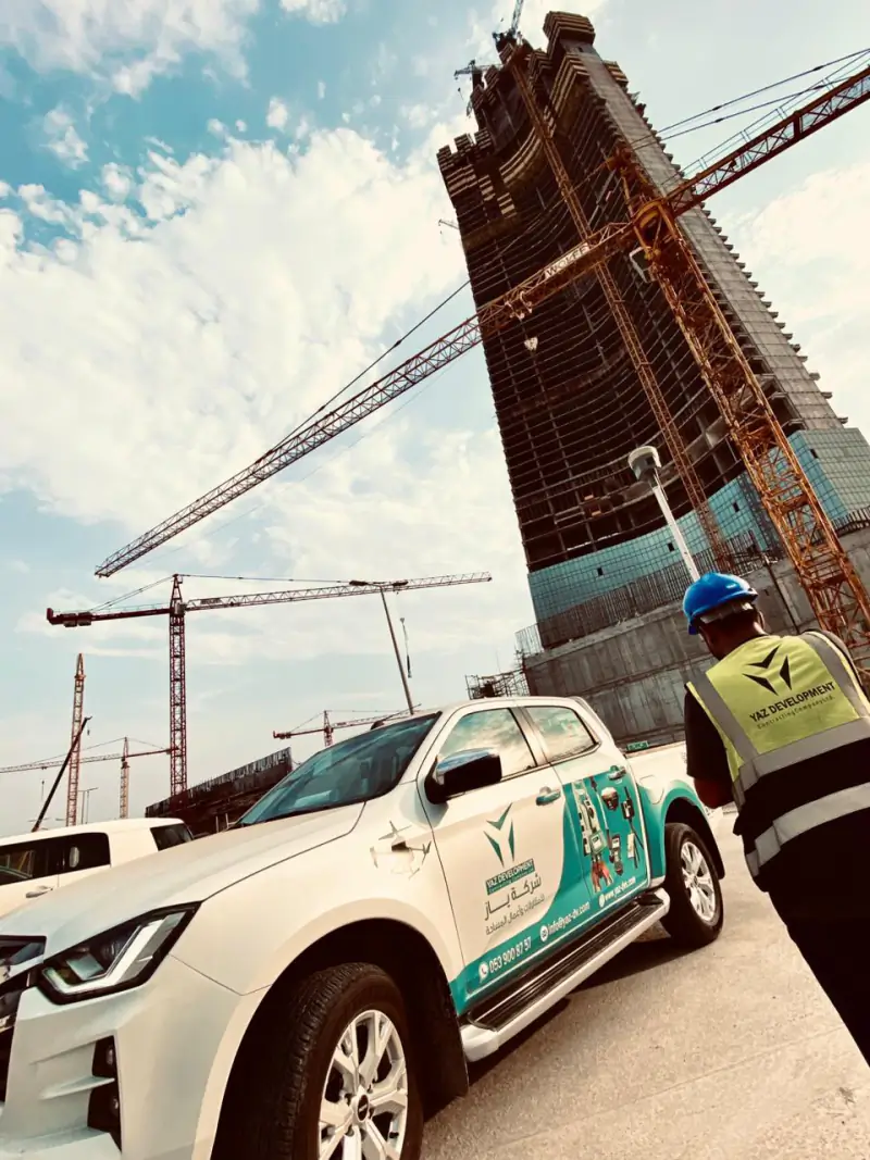 02 Settlement & Deformation Monitoring Settlement and deformation monitoring measures how much a building or the ground moves over time. 03 High-Rise Verticality & Creep Monitoring Verticality monitoring checks that a tall structure stays plumb as it rises.
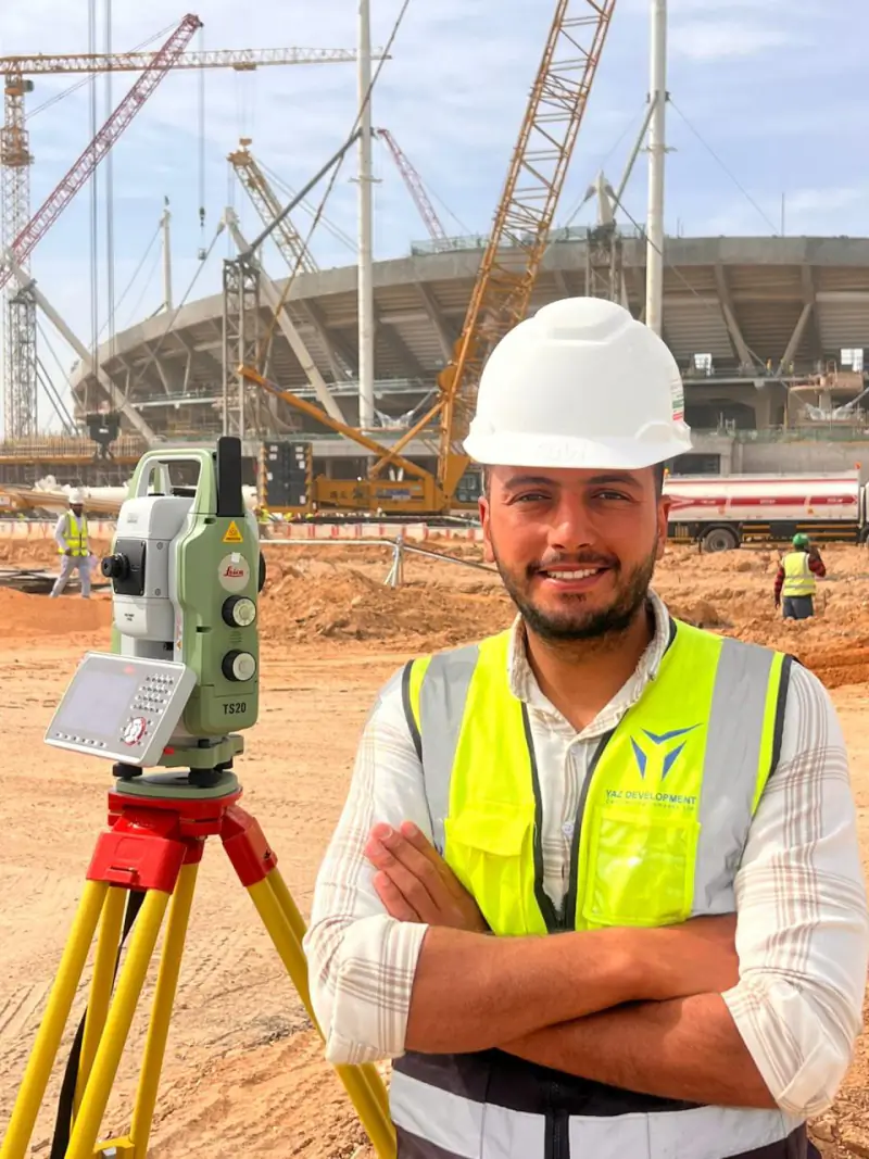 04 Automated Monitoring Automated monitoring uses robotic total stations and sensors that read on a schedule without a person on site, with alerts when limits are passed.
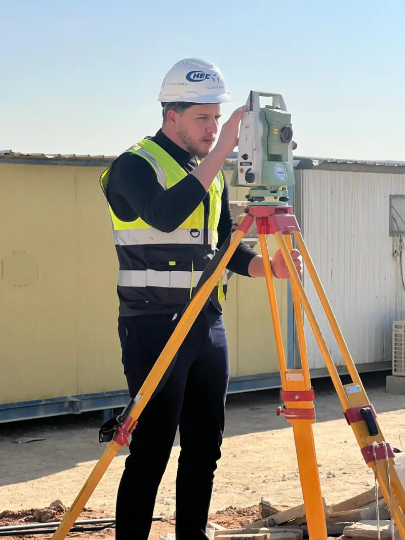 05 Geotechnical Instrumentation Geotechnical instrumentation measures ground behaviour with devices such as tilt sensors and monitoring points.
Projects where YAZ carried out surveying or laser scanning related to this service. Open each project to see YAZ’s exact surveying scope.
Settlement monitoring measures how much a structure or the ground moves vertically over time, using repeated precise levelling or total station readings on fixed monitoring points, so movement can be compared with agreed limits.
Yes. YAZ provides structural and geotechnical monitoring, including settlement, deformation and high-rise verticality monitoring, using automated total stations, prisms and tilt and vibration sensors, with regular reports.
01Construction surveying is the measurement work that sets a building, road or structure out on the ground and checks it against the design as it is built.
 02
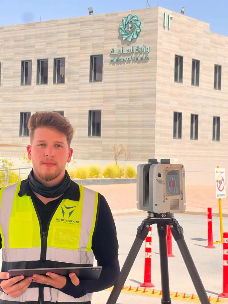
3D laser scanning captures an existing building or site as a dense point cloud of millions of measured points.
 04
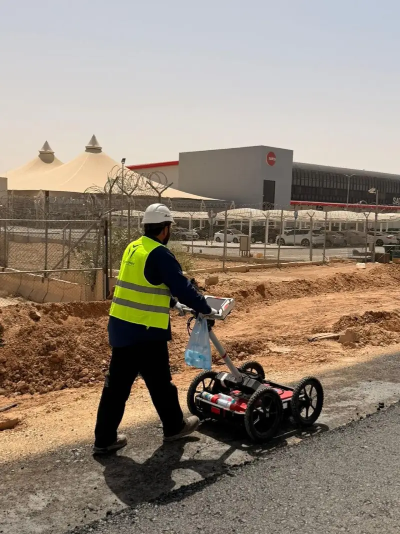
GIS (geographic information systems) stores and maps location data so assets, utilities and sites can be managed and analysed.
 05
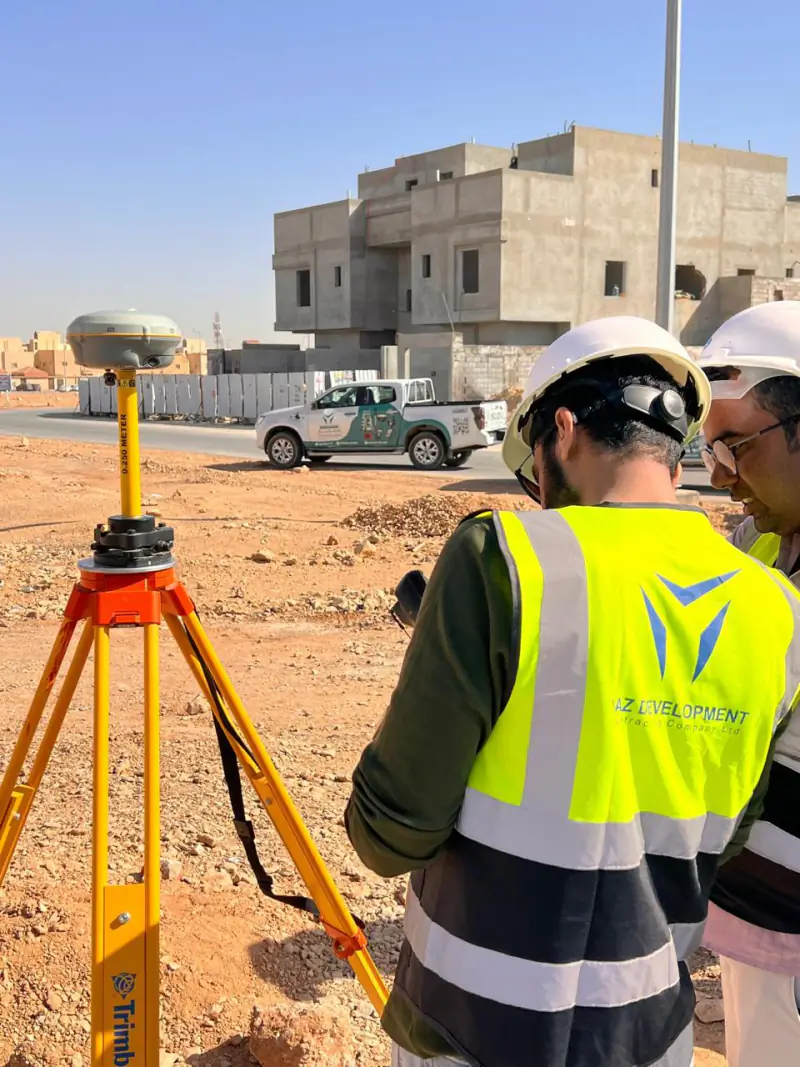
Airport and airfield surveying measures runways, taxiways, aprons and the obstacles around them.
Message us on WhatsApp or call +966 50 298 0251