 02
3D Laser Scanning & Digital Engineering
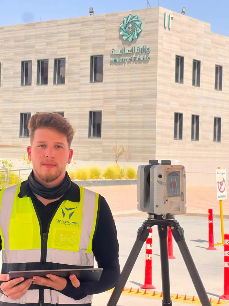
3D laser scanning captures an existing building or site as a dense point cloud of millions of measured points.
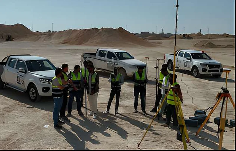
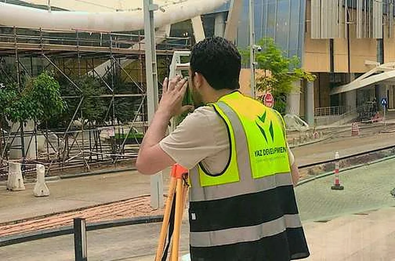
Construction surveying is the measurement work that sets a building, road or structure out on the ground and checks it against the design as it is built. YAZ Development provides equipped surveying teams and survey engineers from Riyadh, for projects in Riyadh and across Saudi Arabia.
Illustration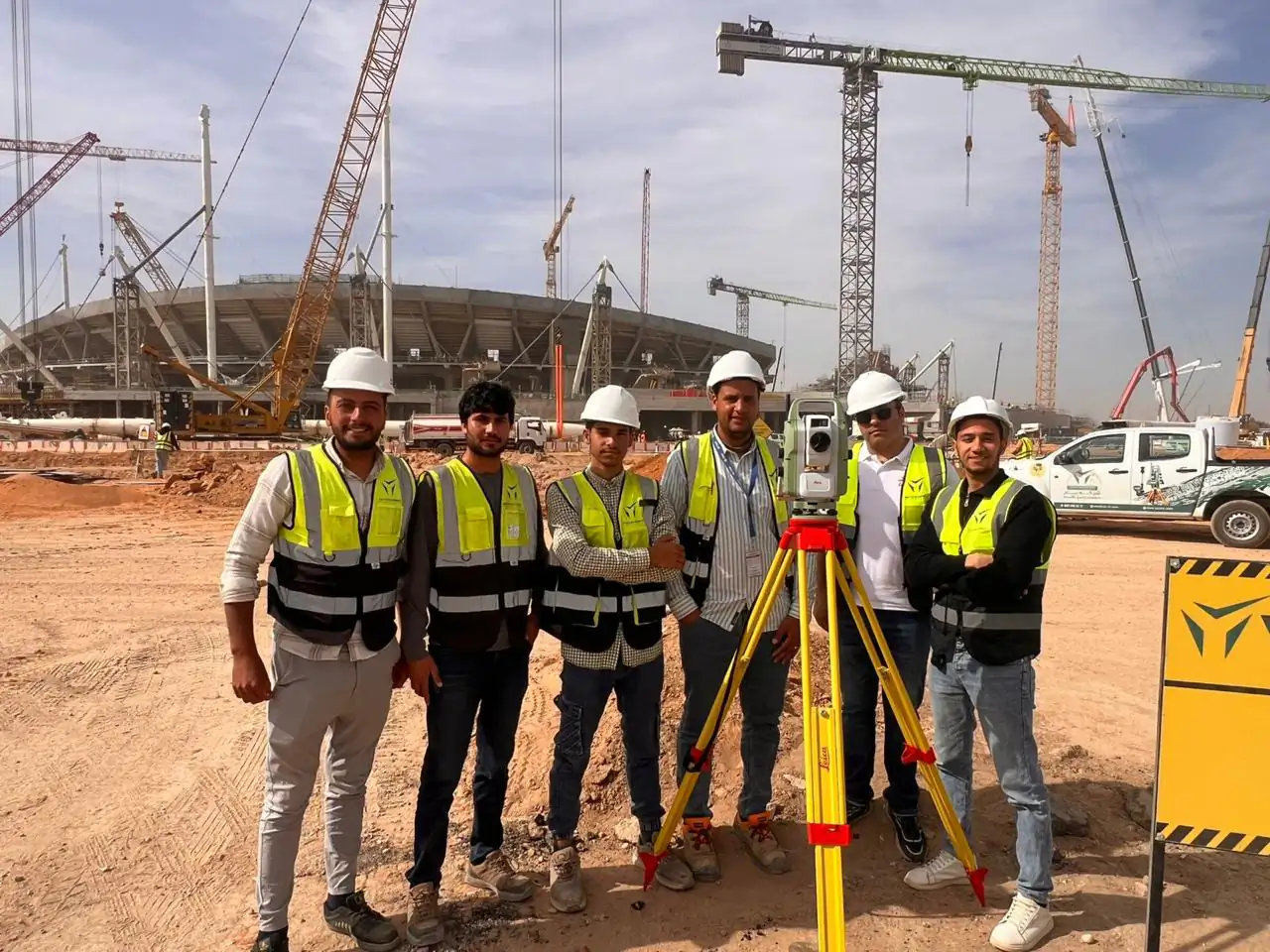 10services in this area
Setting-out marks on site, control point coordinates, as-built drawings in CAD, survey reports and volume statements, in the format and coordinate system agreed for your project.
Teams work with Leica and Trimble total stations and GNSS receivers, and with Hi-Target GNSS equipment supplied through YAZ, the exclusive Hi-Target agent in Saudi Arabia.
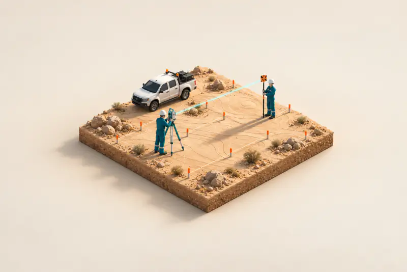 01 Surveying Teams & Manpower Supply Survey crew hire, also called surveying team supply, places equipped survey managers, survey engineers and instrument operators on a contractor’s project.
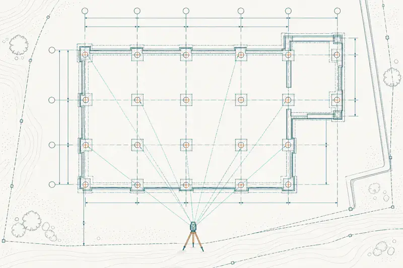
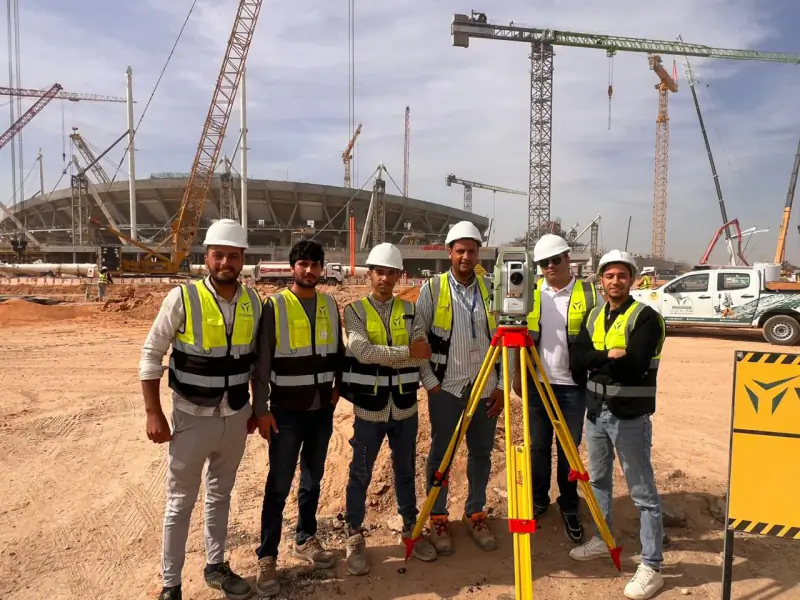 02 Construction Surveying & Setting-Out Construction surveying transfers the design to the ground, positions and levels, and checks the work as it is built.
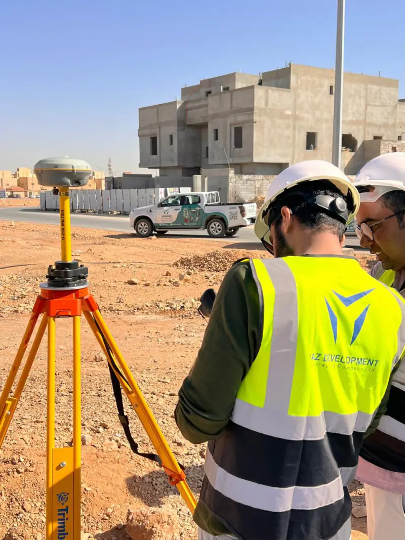 03 Topographic & Land Surveying A topographic survey (الرفع المساحي) maps the ground levels, boundaries and existing features of a site.
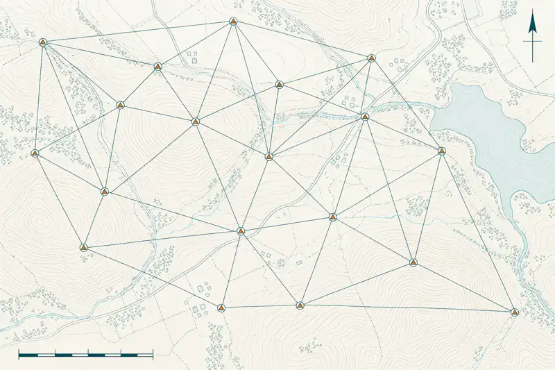 04 Survey Control & Geodetic Networks A survey control network is a set of fixed, precisely coordinated points that every other measurement on a project refers to.
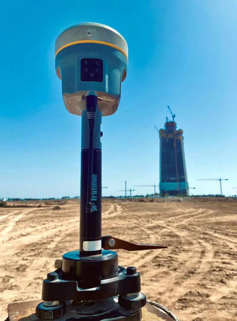 05 Advanced & Geodetic Surveying Geodetic surveying measures positions over large areas on the Earth’s curved surface with high-precision GNSS and precise levelling.
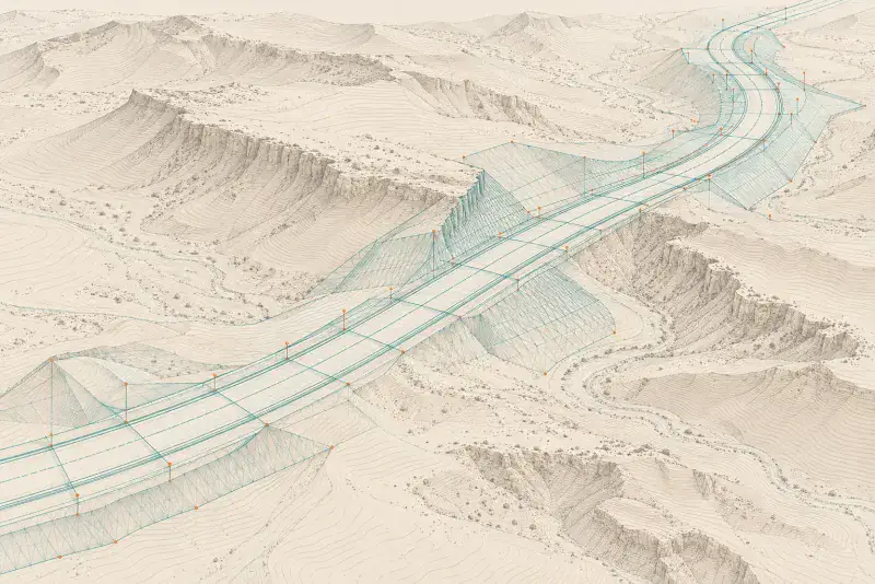 06 Roads, Bridges & Infrastructure Surveying Roads, bridges and infrastructure surveying sets out alignments, levels and structures along a corridor and records what is built.
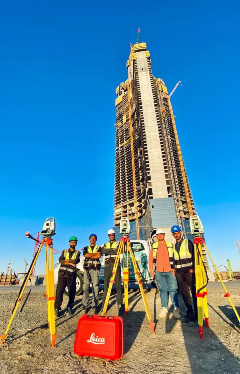 07 High-Rise & Structural Surveying High-rise surveying controls the position and verticality of a tall structure as it rises.
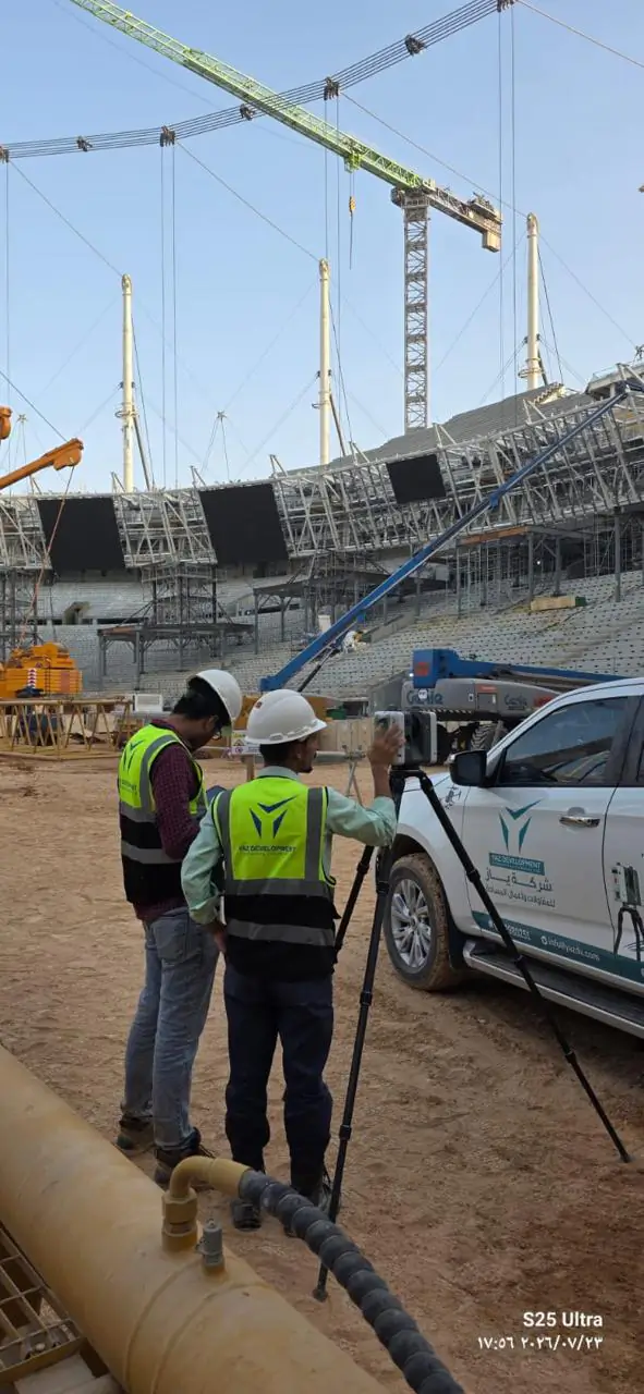 08 As-Built Surveying An as-built survey records what was actually built, in position and level, so it can be compared with the design and handed over.
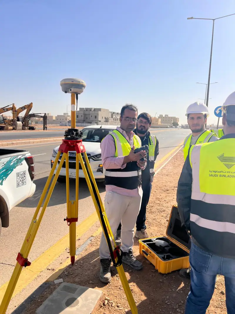 09 Earthworks & Volume Calculations Earthworks volume calculation measures how much soil must be cut or filled by comparing surveyed surfaces.
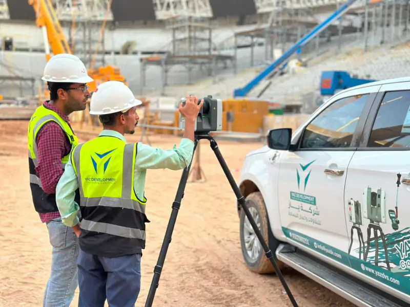 10 Quantity Surveying & Cost Analysis Survey-based quantity measurement derives areas, lengths and volumes of completed work from field survey data, so quantities can be agreed from measured facts.
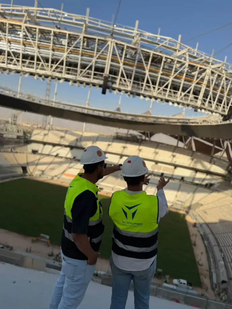 King Fahd International Stadium DevelopmentRiyadh
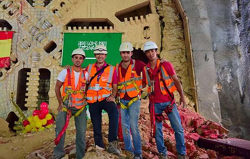 Riyadh MetroRiyadh
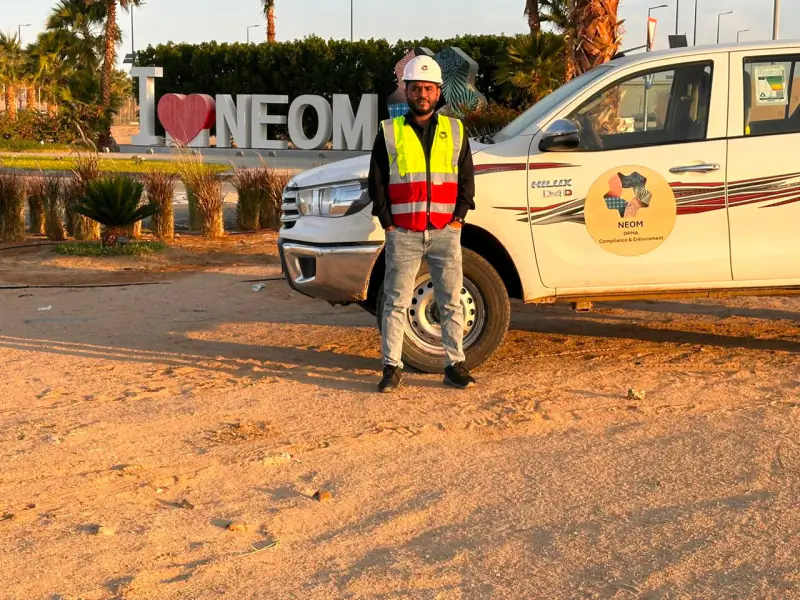 NEOMTabuk Province
 King Salman ParkRiyadh Misk SchoolsRiyadh
 King Abdullah Financial District (KAFD)Riyadh Jeddah TowerJeddah Dairab Road ProjectRiyadh
 Aramco StadiumAl Khobar
Projects where YAZ carried out surveying or laser scanning related to this service. Open each project to see YAZ’s exact surveying scope.
It sets out the design on site (positions and levels), verifies work against the drawings as it progresses, and records the as-built condition. On large projects it also maintains the control network used by every contractor.
A topographic survey (in Arabic, الرفع المساحي أو الرفع الطبوغرافي) maps the ground levels, boundaries and existing features of a site. To order one from YAZ in Riyadh, send the site location, area and deliverable format (CAD or DTM) by WhatsApp or email and the team will quote.
Yes. YAZ supplies survey managers, survey engineers and total station and GNSS operators on short or long-term contracts, with equipment, for projects in Riyadh and across Saudi Arabia.
023D laser scanning captures an existing building or site as a dense point cloud of millions of measured points.
03Structural monitoring is the repeated, precise measurement of a building or ground to detect settlement, deformation, tilt or vibration over time.
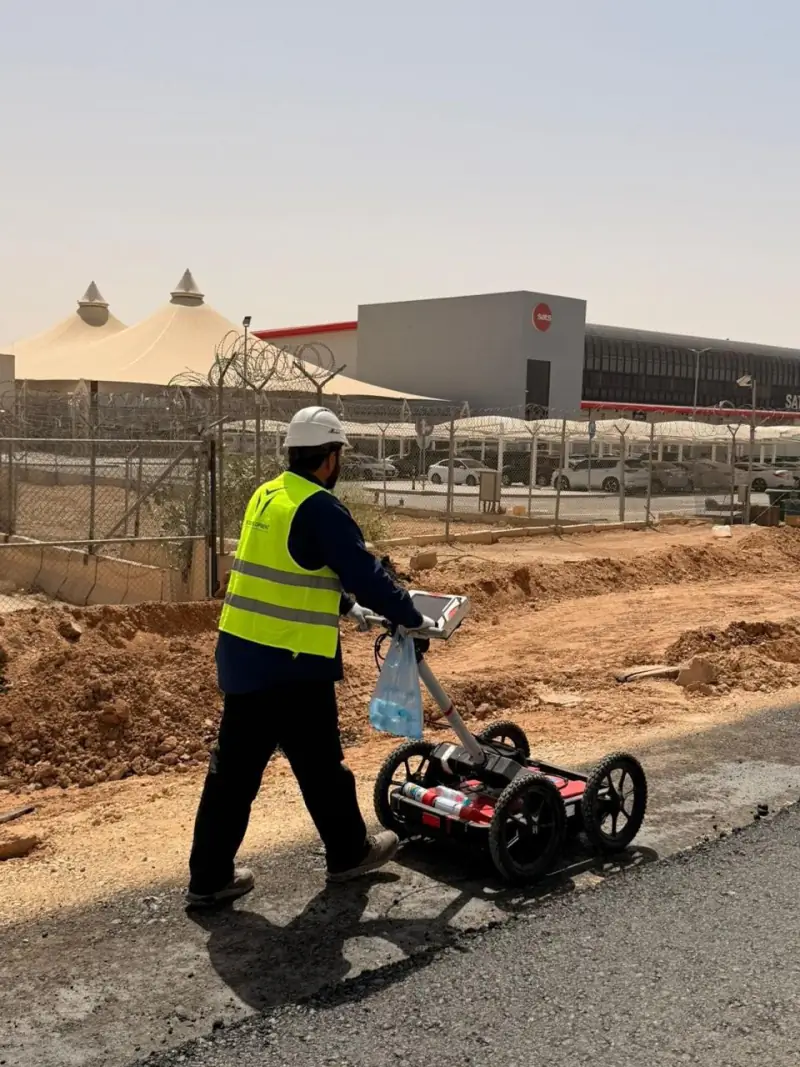 04
GIS (geographic information systems) stores and maps location data so assets, utilities and sites can be managed and analysed.
05Airport and airfield surveying measures runways, taxiways, aprons and the obstacles around them.
Message us on WhatsApp or call +966 50 298 0251