Scan to BIM in Riyadh
Scan to BIM converts a 3D laser scan of an existing building into a BIM model, usually in Revit or IFC. YAZ Development scans with the Leica RTC360 and builds models from the registered point cloud for projects in Riyadh and across Saudi Arabia.
Illustration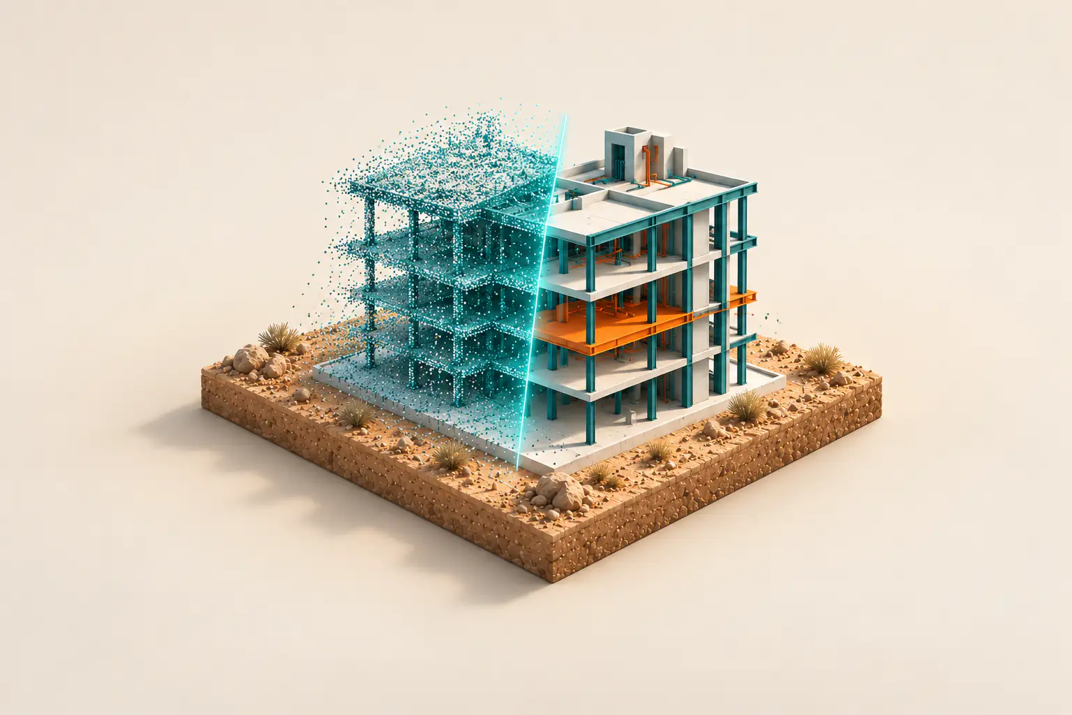
When you need it
- Renovation, extension and retrofit of existing buildings
- As-built documentation where drawings are missing or outdated
- Clash checking against new design
- Facility records and digital twins
- Checking built geometry against the design model
How a Scan to BIM project runs
- Agree the scope, level of detail and deliverables
- Scan the site with the laser scanner
- Register the scans into one point cloud tied to survey control
- Model the building elements from the point cloud
- Check the model against the point cloud and issue it
What you receive
Registered point cloud (E57, RCP or LAS), Revit or IFC model, CAD drawings, and a registration and quality report, according to the agreed scope.
Instruments we use
Capture uses the Leica RTC360 and Trimble X7 terrestrial laser scanners, tied to survey control by Leica and Trimble total stations and GNSS.
Related project experience
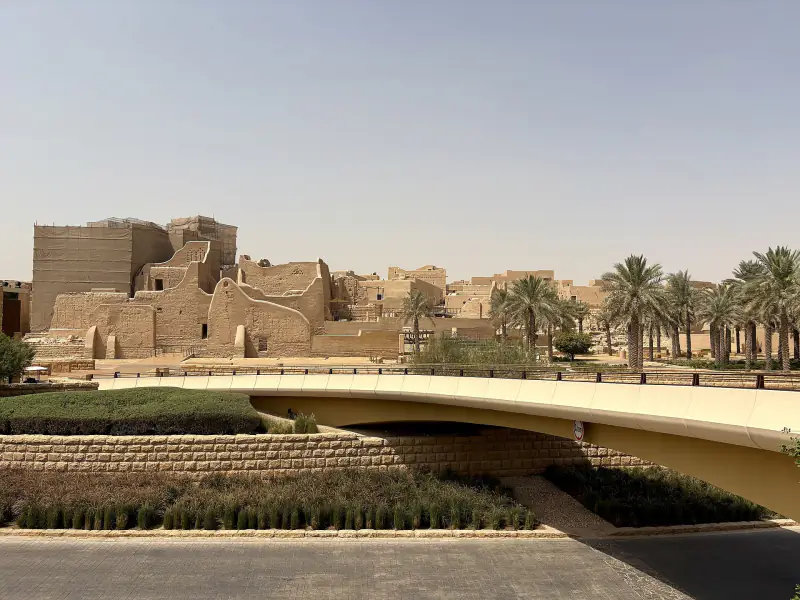 Diriyah DevelopmentRiyadh
Photo: ほっきー, CC0
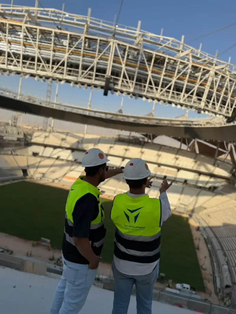 King Fahd International Stadium DevelopmentRiyadh
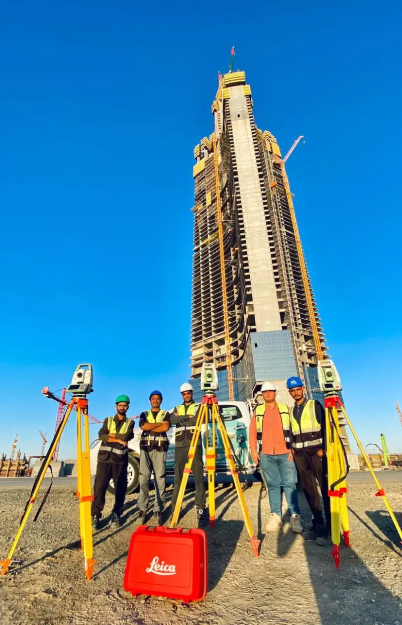 Jeddah TowerJeddah
Projects where YAZ carried out surveying or laser scanning related to this service. Open each project to see YAZ’s exact surveying scope.
Related guides
Common questions
What is Scan to BIM?
Scan to BIM is the process of turning a 3D laser scan (point cloud) of an existing building into an intelligent BIM model, so engineers can design, coordinate and manage it from accurate as-built data.
What file formats do I receive from a Scan to BIM project?
Typically the registered point cloud in E57, RCP or LAS, and the model in Revit or IFC, plus CAD drawings and a quality report, depending on the scope agreed with you.
What level of detail do you model to?
The level of detail (LOD) and the disciplines to model, such as architecture, structure or MEP, are agreed with you at the start, based on how the model will be used. Before it is issued, the model is checked against the registered point cloud and the check is recorded in the quality report.
Does YAZ offer Scan to BIM in Riyadh?
Yes. YAZ provides 3D laser scanning and Scan to BIM from Riyadh using the Leica RTC360, for projects in Riyadh and across Saudi Arabia.
Related services
Need Professional Surveying Teams or Geospatial Engineering Services?
Message us on WhatsApp or call +966 50 298 0251