 01
Surveying & Construction Geomatics
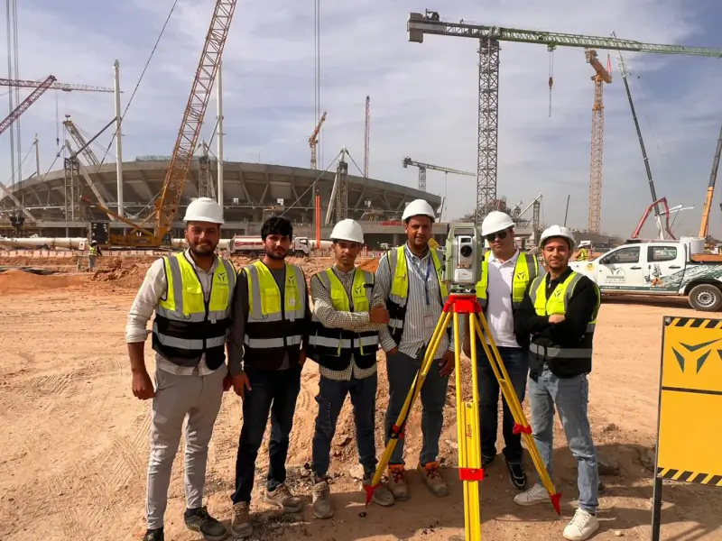
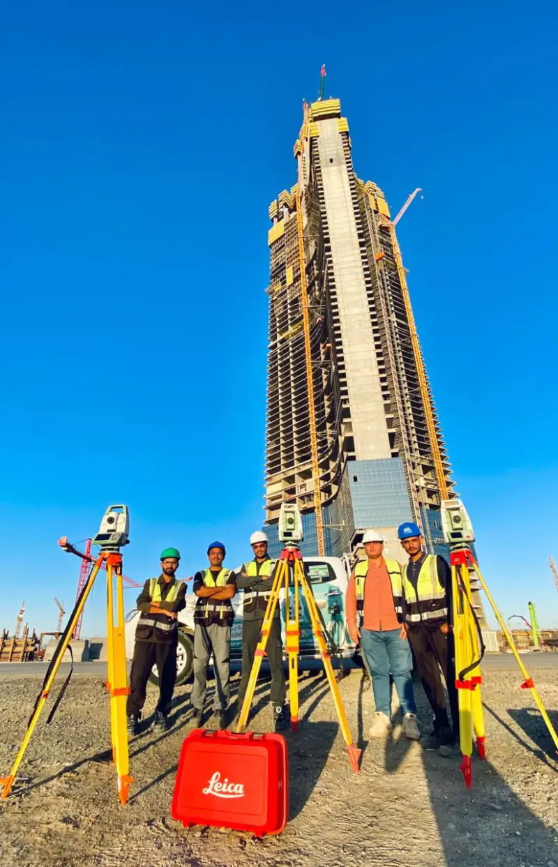
Construction surveying is the measurement work that sets a building, road or structure out on the ground and checks it against the design as it is built.
Airport and airfield surveying measures runways, taxiways, aprons and the obstacles around them. eTOD (electronic terrain and obstacle data) surveys capture the terrain and obstacles that aviation authorities require in digital form. YAZ Development offers these as specialized survey services in Saudi Arabia.
Illustration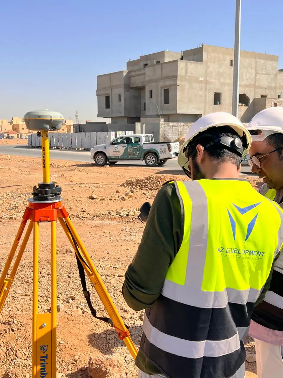 2services in this area
Survey data and drawings in the format and reference system required by the project, with a method statement and quality checks agreed in advance.
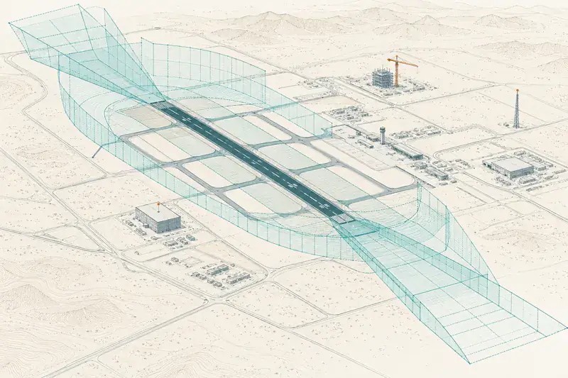
GNSS static and RTK, total stations, laser scanning and UAV mapping, selected to suit the site and the accuracy required.
 01 Airport & Airfield Surveying Airport and airfield surveying measures runways, taxiways, aprons and their levels and surroundings. 02 eTOD & Obstacle Surveys eTOD (electronic terrain and obstacle data) surveys record the terrain and obstacles around an aerodrome in the digital form aviation authorities require.
An eTOD survey collects electronic terrain and obstacle data around an aerodrome, so terrain and obstacles are available in digital form to the standards aviation authorities require.
YAZ offers airport and airfield surveying and eTOD obstacle surveys as specialized services. Contact the team with the site and scope to confirm availability and approach.
01Construction surveying is the measurement work that sets a building, road or structure out on the ground and checks it against the design as it is built.
 02
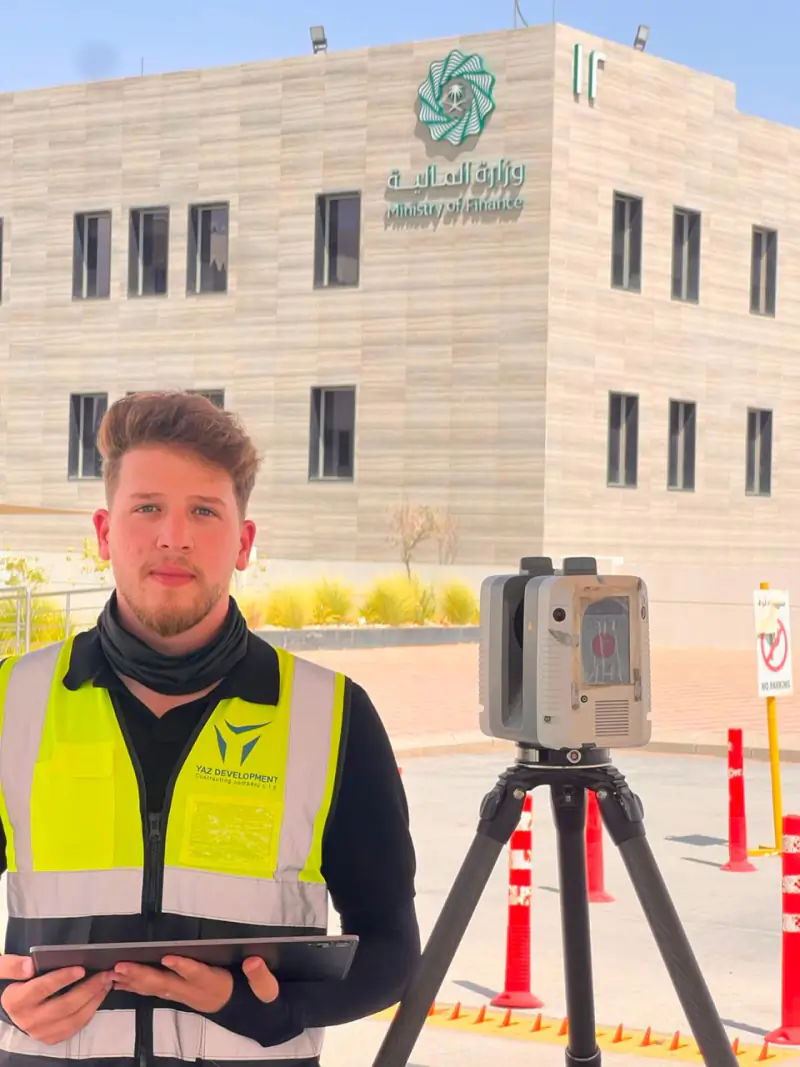
3D laser scanning captures an existing building or site as a dense point cloud of millions of measured points.
 03
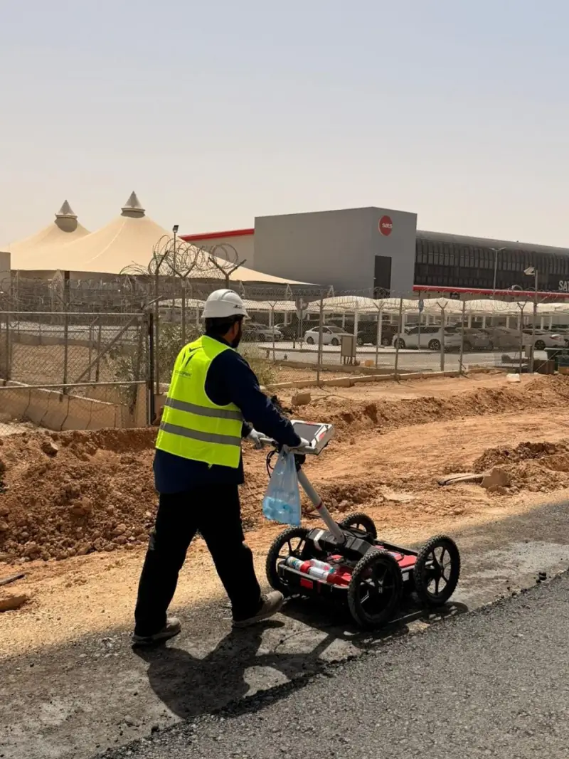
Structural monitoring is the repeated, precise measurement of a building or ground to detect settlement, deformation, tilt or vibration over time.
 04
GIS (geographic information systems) stores and maps location data so assets, utilities and sites can be managed and analysed.
Message us on WhatsApp or call +966 50 298 0251