Airport and airfield surveying
Airport and airfield surveying measures runways, taxiways, aprons and their levels and surroundings. YAZ Development offers it as a specialized survey service in Saudi Arabia, agreed with the project team case by case.
Illustration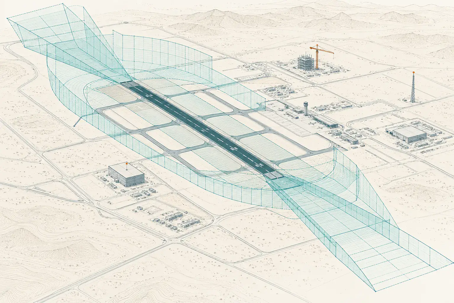
When you need it
- Pavement and level surveys
- Marking and geometry checks
- Surveys for expansion or rehabilitation
- Control tied to the geodetic reference
How an airfield survey is planned
- Agree scope, access and safety rules
- Establish control
- Survey surfaces and features
- Deliver data and drawings
What you receive
Survey data and drawings in the project’s format and reference system, with agreed quality checks.
Instruments we use
GNSS static and RTK, total stations, laser scanning and UAV mapping, selected to suit the site and the accuracy required.
Common questions
Does YAZ list airport projects?
No airport projects are listed on this site. YAZ offers airport and airfield surveying as a specialized service, confirmed with the team for each case.
What is needed to start?
The site, scope, access and safety requirements, and the data format your team needs.
Related services
Need Professional Surveying Teams or Geospatial Engineering Services?
Message us on WhatsApp or call +966 50 298 0251